Don't forget to complete your donation
complete your donation
← Back to Curriculum

Where should future oyster restoration take place?

Unit
35–45
Class Periods
2
Field Visits

Billion Oyster Project builds oyster reefs across NY Harbor—but where should future restoration go? In this unit, students use spatial analysis to weigh habitat suitability and community impact, then pick a site that gives oysters the best shot while benefiting the surrounding ecosystem and people.

Where should future oyster restoration take place? 6-8

Overview

What Students Do

Across 13 lessons and 5 chapters, students take on the role of restoration planners. They weigh the trade-offs of restoring different estuarine habitat-creating species, research what oysters need to survive, and learn ArcGIS Online to map and evaluate real New York Harbor data. They identify three candidate sites, define the community and ecosystem impacts they want their reef to have, rank their sites with spatial analysis, design appropriate reef and education structures, plan community engagement, and finalize a full restoration proposal as an ArcGIS story map that they present and share with BOP or another community group.

Field Visits
2
CTLE Standards
No standards assigned to this unit, yet.

LESSONS

5

chapters

CHAPTER

1

:

Estuarine Restoration in NYC

Lesson

1

:

New York Estuarine Habitat Creators

Length
3 class periods
Setting
Classroom
Subject
Science
Lesson Question
Where should future oyster restoration take place?
Lesson snapshot

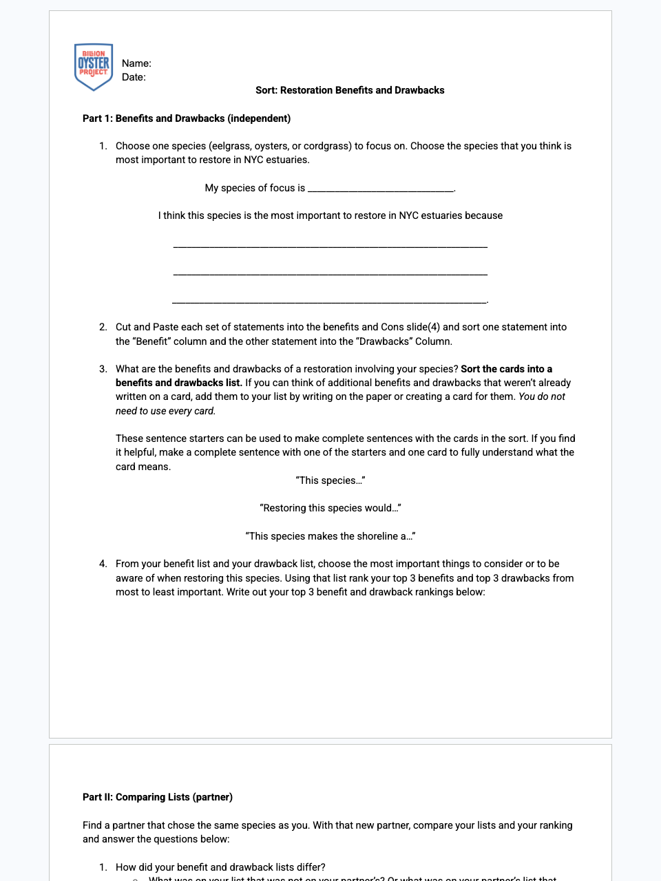
Students learn about three habitat-creating species in NY estuaries (eastern oyster, eelgrass, cordgrass) and weigh the pros and cons of restoration projects involving each, considering whether one species is most important to restore.

Students will:
  • Discuss what 'restoration' means in the context of ecology
  • Read about habitat-creating species in NY estuaries via a story map
  • Determine the pros and cons of restoring habitat and consider which species is most important to restore
  • Critically read adapted scientific literature to find central ideas and obtain scientific information
  • Summarize complex evidence by paraphrasing in simpler but accurate terms

Lesson

2

:

Is this Site Suitable for Restoration?

Length
2–3 class periods
Setting
Both
Subject
Science
Lesson Question
Where should future oyster restoration take place?
Lesson snapshot

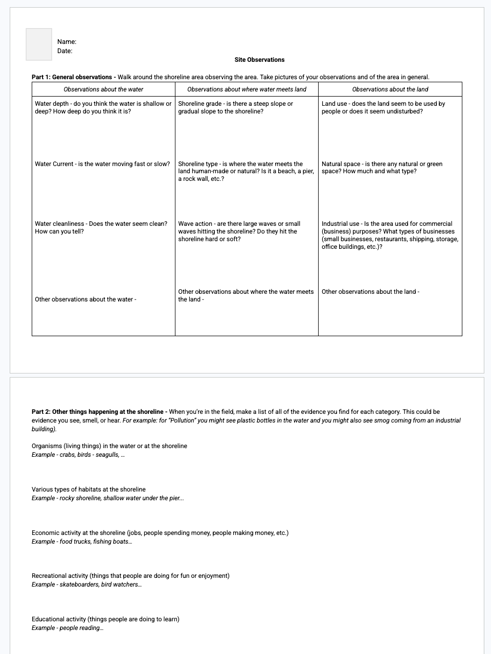
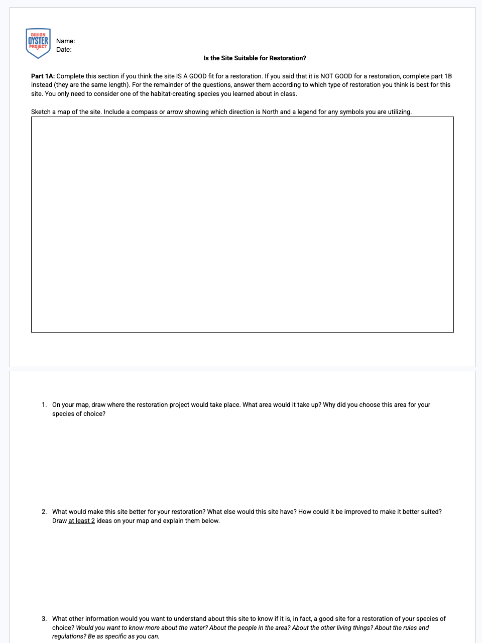
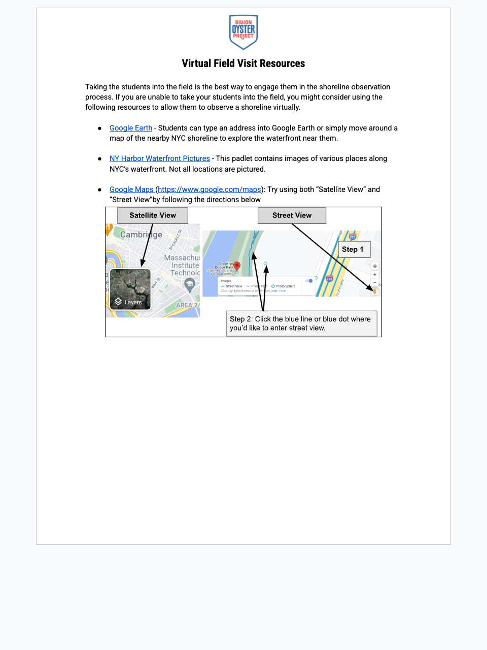
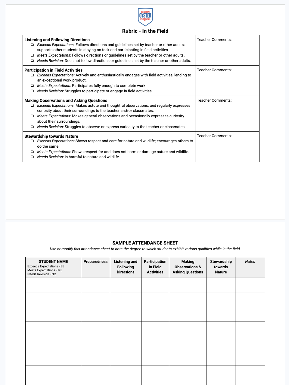
Students visit a shoreline to make and record observations, then return to the classroom to discuss whether the site is suitable for an estuarine habitat restoration — what makes it suitable, what would improve it, and what would make restoring each species challenging.

Students will:
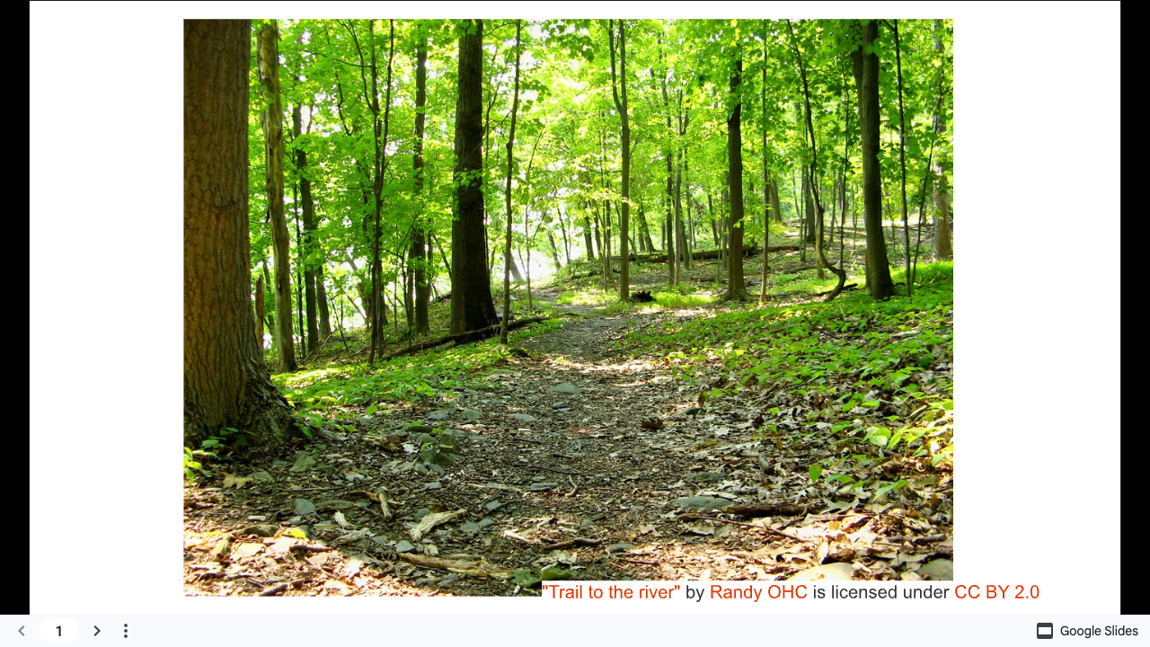
  • Explore the shoreline, evaluating how well it suits a restoration project and which species it best fits
  • Discuss field observations and opinions on the site's suitability for restoration
  • Sketch a map of the shoreline including a proposed restoration or shoreline improvement project
  • Evaluate competing solutions to a real-world problem using scientific ideas, observational evidence, and logical arguments
  • Construct an argument based on evidence and scientific information

CHAPTER

2

:

The Search for Suitable Oyster Habitat

Lesson

3

:

What Do Oysters Need?

Length
3–4 class periods
Setting
Classroom
Subject
Science
Lesson Question
Where should future oyster restoration take place?
Lesson snapshot

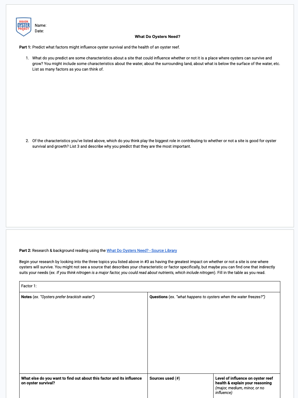
Students conduct background reading to identify the most important factors influencing oyster health and survival, then research, discuss, and rank the qualities of suitable oyster habitat to inform how they evaluate restoration-site suitability.

Students will:
  • Be introduced to their task: determining the best location for future oyster restoration
  • Make predictions about which factors most influence oyster survival
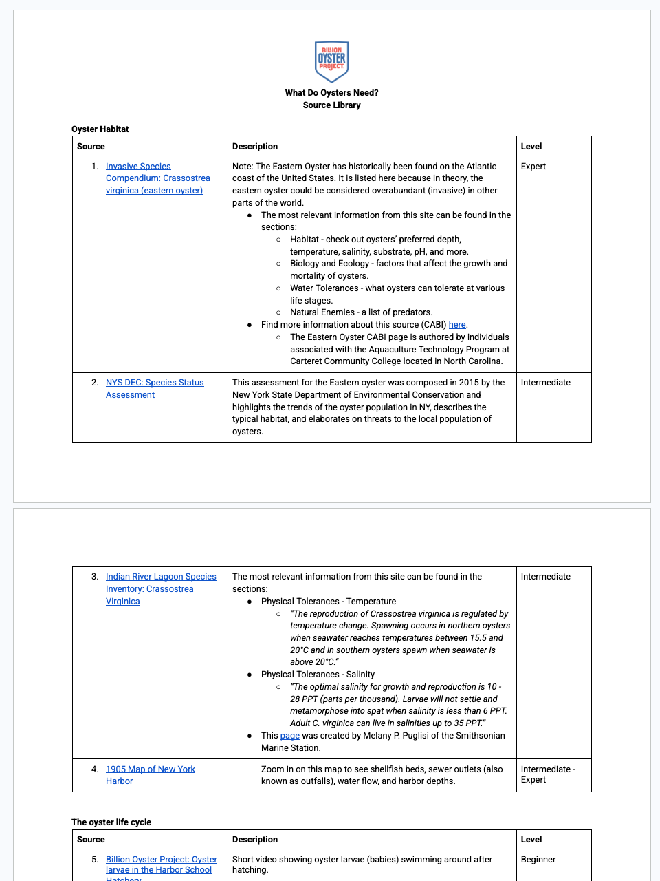
  • Read and evaluate multiple sources to determine characteristics of suitable oyster habitat
  • Discuss the researched factors to grasp the variety of things affecting oyster and reef success
  • Prioritize and rank the most important factors for evaluating a suitable restoration location

Lesson

4

:

Finding Data for your Map

Length
3 class periods
Setting
Classroom
Subject
Science
Lesson Question
Where should future oyster restoration take place?
Lesson snapshot

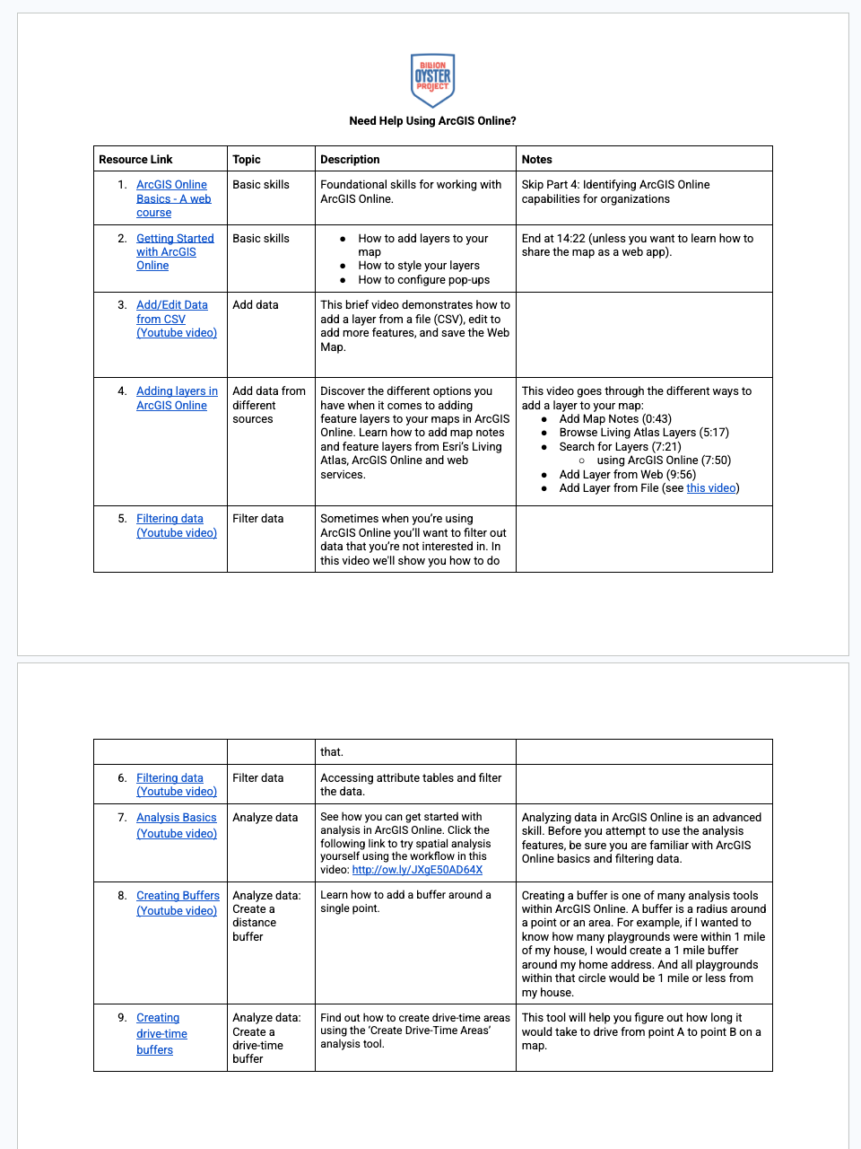
Students are introduced to GIS (ArcGIS Online) and the project goal, then evaluate real NY Harbor datasets to determine which are useful for identifying suitable future oyster restoration sites. The lesson also introduces collaborative 'Help Sessions'.

Students will:
  • Be introduced to the project goal and to GIS
  • Be introduced to Help Sessions for working through GIS roadblocks collaboratively
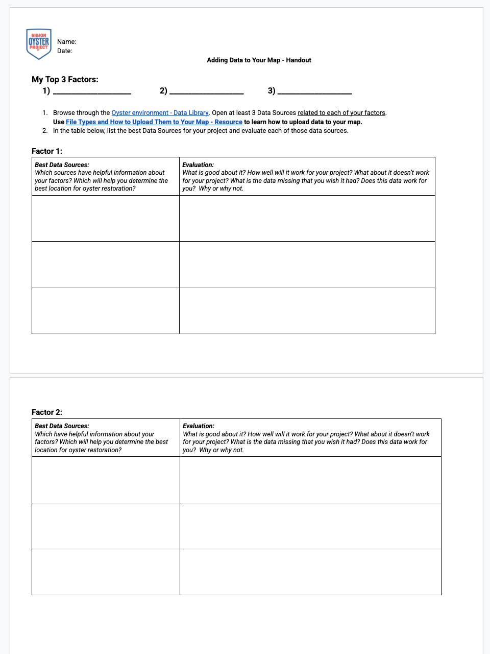
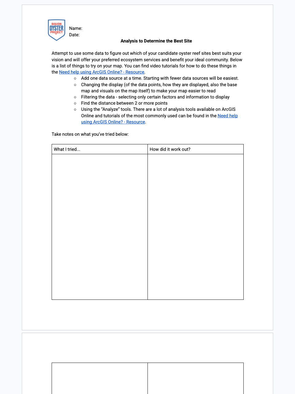
  • Evaluate data for usefulness in their analysis using ArcGIS Online
  • Compare and contrast various types of data sets

Lesson

5

:

Mapping Potential Restoration Sites

Length
5–6 class periods
Setting
Classroom
Subject
Science
Lesson Question
Where should future oyster restoration take place?
Lesson snapshot

Students use spatial analysis in ArcGIS Online to locate three potentially suitable sites for future oyster restoration, then begin building an ArcGIS story map proposal (Part 1) and share their work in progress.

Students will:
  • Conduct spatial analysis to determine possible suitable locations for future oyster restoration
  • Narrow results to their top 3 candidate sites and reflect on the analysis process
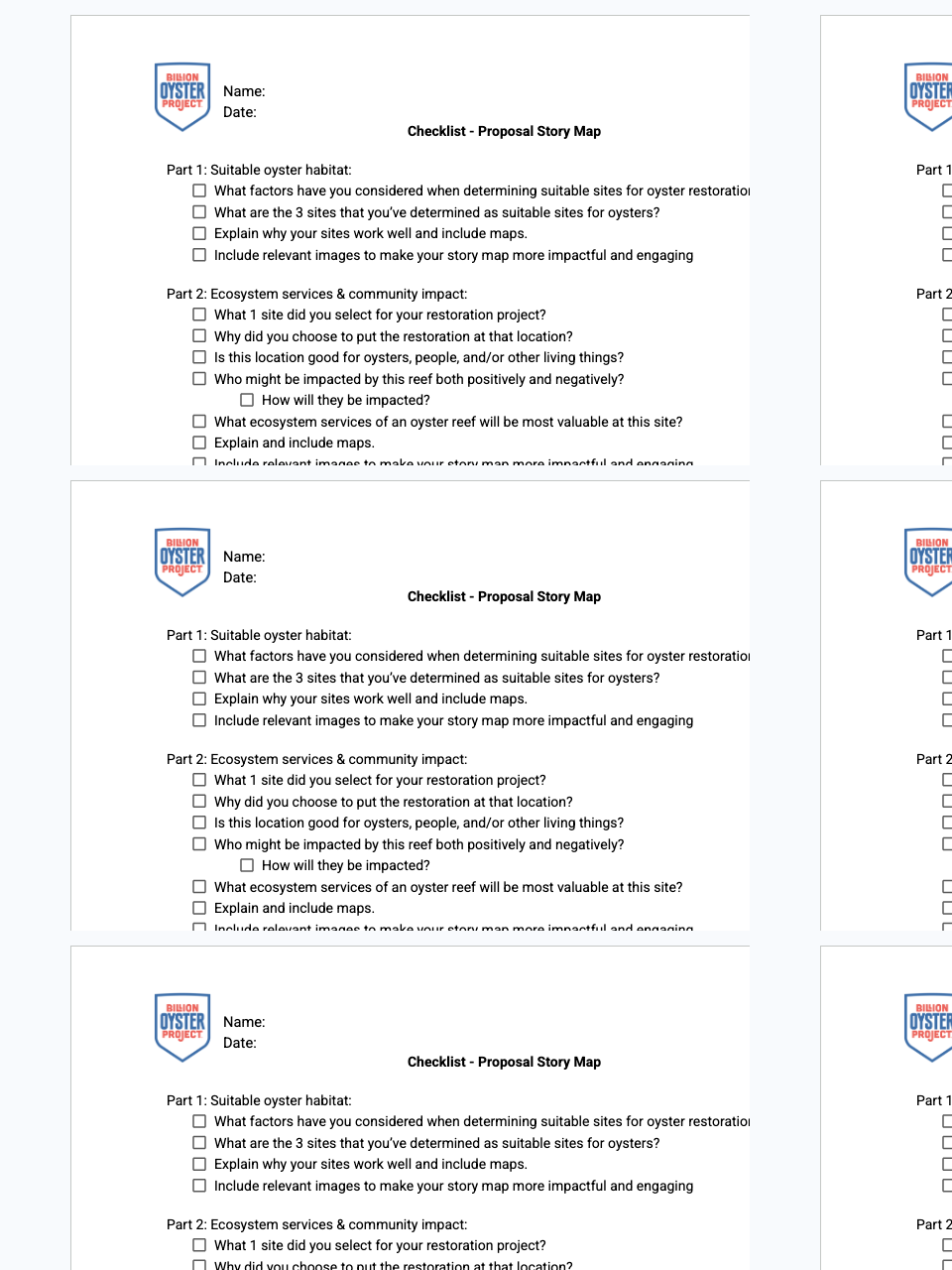
  • Create an ArcGIS story map (Part 1) to communicate their restoration proposal
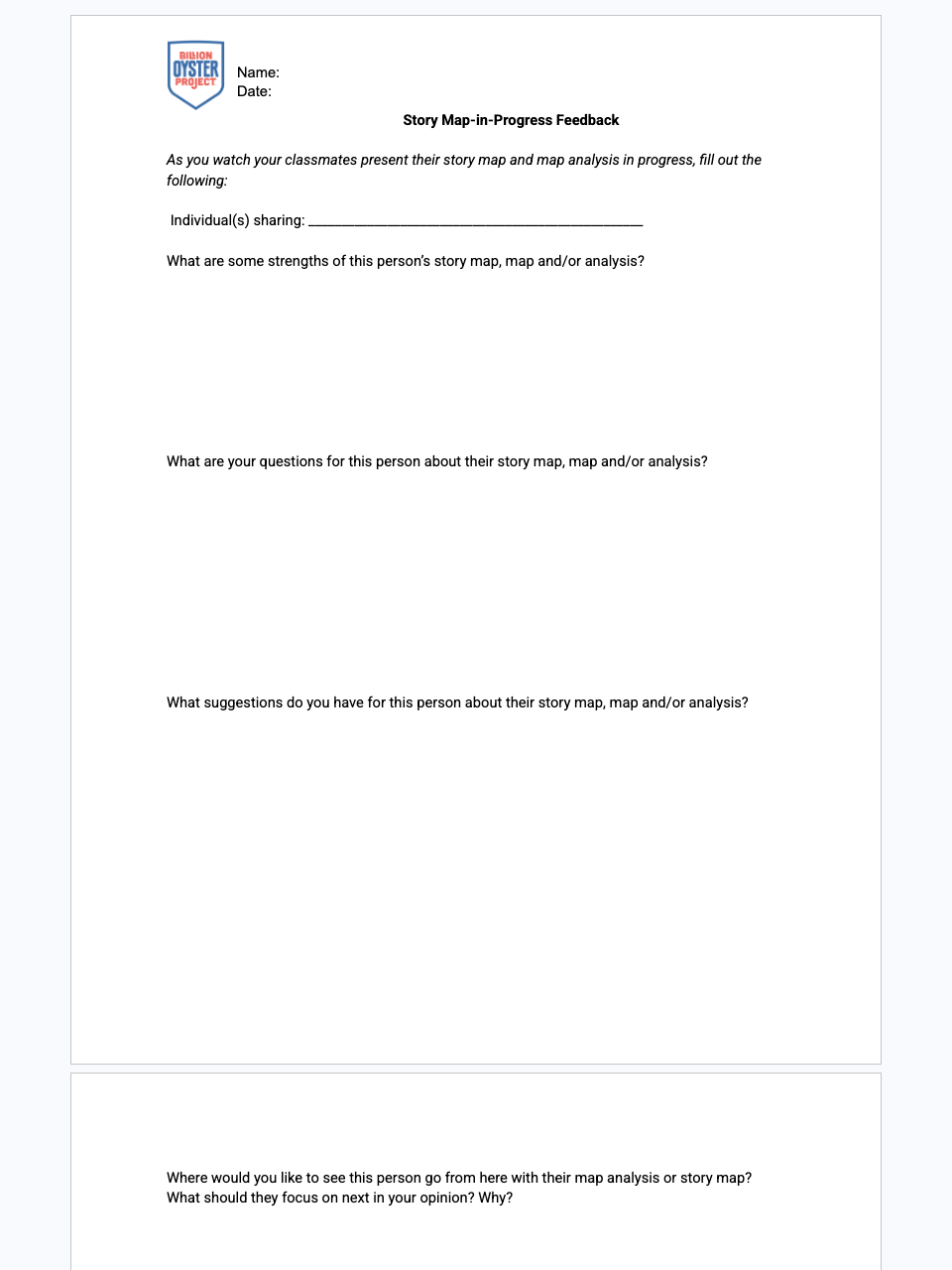
  • Share their story-map-in-progress and 3 sites with the class and exchange feedback

CHAPTER

3

:

Who Is Impacted by Your Oyster Restoration?

Lesson

6

:

Ecosystem Services of an Oyster Reef

Length
2 class periods
Setting
Classroom
Subject
Science
Lesson Question
Where should future oyster restoration take place?
Lesson snapshot

Students think about how various ecosystems offer different social, economic, and ecological services, then build a list of the ecosystem services of an oyster reef and determine which are most important in NY Harbor.

Students will:
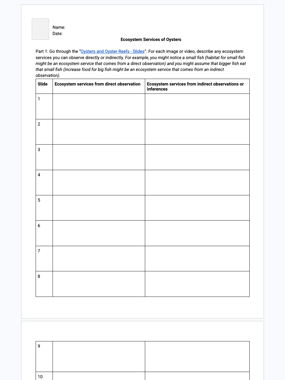
  • Make inferences from images about the services or uses a particular ecosystem provides
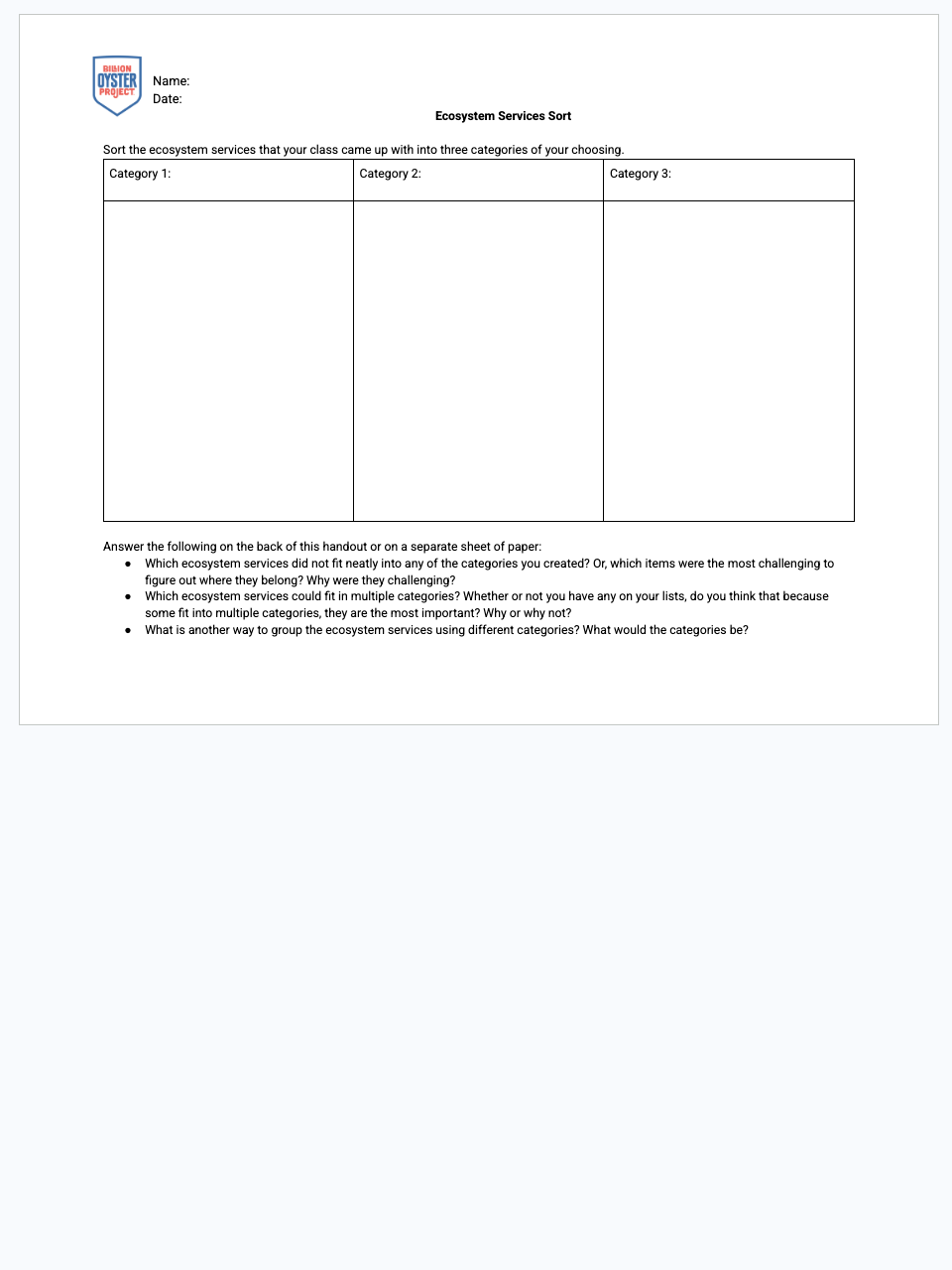
  • Categorize the various services provided by ecosystems
  • List the services provided by an oyster reef
  • Determine which services are most important in NY Harbor

Lesson

7

:

Who Will Your Reef Impact and How?

Length
2–3 class periods
Setting
Classroom
Subject
Science
Lesson Question
Where should future oyster restoration take place?
Lesson snapshot

Students identify the community they want their reef to impact and the services they want it to provide, then evaluate ArcGIS data sources to determine which are useful (or usable as proxies) for their analysis.

Students will:
  • Describe the community they want their reef to impact and how (Part 1)
  • Evaluate data for usefulness in their analysis using ArcGIS Online (Part 2)
  • Discuss data challenges, expectations, gaps, and proxy-data approaches as a class

Lesson

8

:

Mapping Desired Reef Impacts

Length
5–6 class periods
Setting
Classroom
Subject
Science
Lesson Question
Where should future oyster restoration take place?
Lesson snapshot

Students use spatial analysis to assess how well each of their 3 candidate sites aligns with their desired reef impacts, rank the sites to pick a single best location, add Part 2 to their story map proposal, and present their work in progress.

Students will:
  • Conduct spatial analysis to find which site best aligns with their desired reef impacts
  • Rank their 3 candidate sites and select their single top choice
  • Add Part 2 to their ArcGIS story map proposal
  • Communicate their work in progress with the class and exchange feedback

CHAPTER

4

:

Designing Your Oyster Restoration

Lesson

9

:

Explore Your Site

Length
1–2 class periods
Setting
Classroom
Subject
Science
Lesson Question
Where should future oyster restoration take place?
Lesson snapshot

Students take a closer look at what already exists at their chosen restoration site (via a virtual visit) and determine the value of adding an oyster restoration project there.

Students will:
  • Virtually explore what already exists at their site
  • Assess the potential of their site with an added oyster restoration
  • Evaluate questions that challenge the premises of an argument and the suitability of a design
  • Evaluate and refine a solution to a complex real-world problem based on scientific knowledge, observations, and tradeoffs
Materials & Quick Links

Sign up to access lesson content

Create free teacher credentials to access full lesson plans, downloadable materials, and teaching resources for your classroom.

Lesson

10

:

Reef Structures

Length
2–3 class periods
Setting
Classroom
Subject
Science
Lesson Question
Where should future oyster restoration take place?
Lesson snapshot

Students figure out what the shoreline at their site looks like and determine which restoration and education structures are best suited for it, then add to their ArcGIS story map proposal (Part 3).

Students will:
  • Determine what shoreline types exist at their restoration site
  • Read about oyster restoration and education structures and the shoreline types they suit
  • Determine which restoration and education structures are best for their site
  • Add to their ArcGIS story map proposal (Part 3)
  • Apply scientific ideas, principles, and evidence to solve design problems

CHAPTER

5

:

Involving the Community at Your Site

Lesson

11

:

Social Data Collection in the Field

Length
2–3 class periods
Setting
Both
Subject
Science
Lesson Question
Where should future oyster restoration take place?
Lesson snapshot

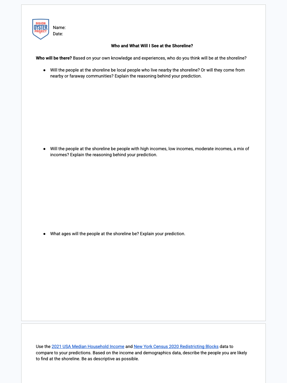
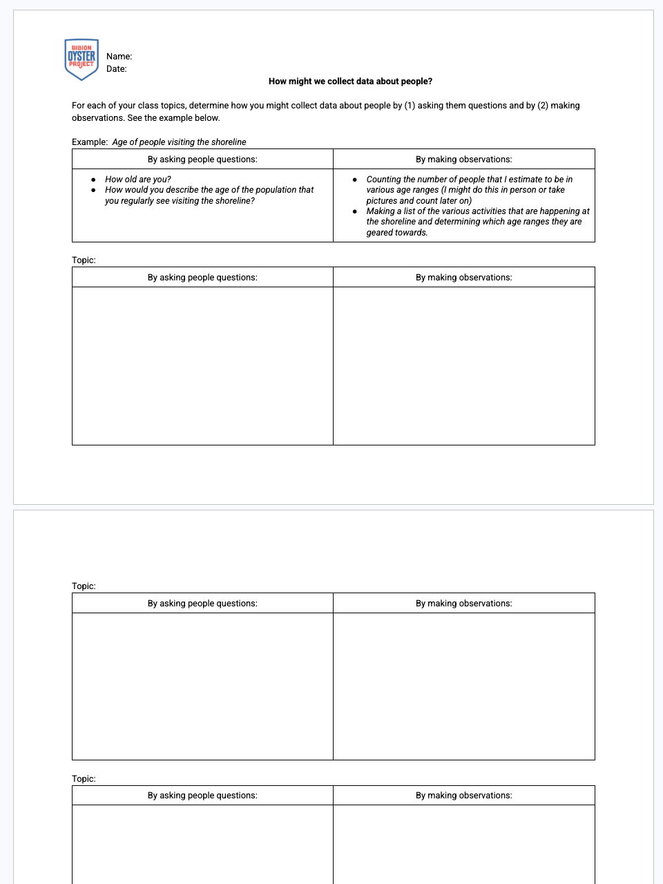
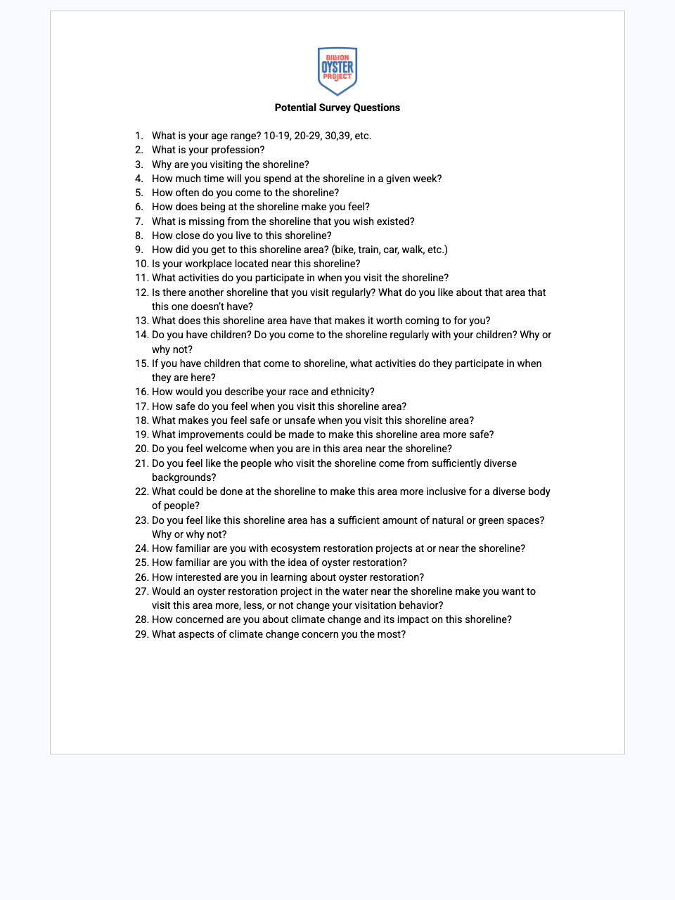
Students create a data collection tool to gather data about people at the shoreline, use it on a field visit, then reflect on and revise the tool. An extension applies the tool at their own proposed restoration site.

Students will:
  • Create a data collection tool to understand shoreline visitors at the field site
  • Visit the shoreline and attempt to use the social data collection tool
  • Reflect on and revise the data collection tool
  • Extension: use the tool at their own proposed oyster restoration site
  • Plan an investigation in a safe and ethical manner, including environmental, social, and personal impacts

Lesson

12

:

Engaging the Community

Length
3 class periods
Setting
Classroom
Subject
Science
Lesson Question
Where should future oyster restoration take place?
Lesson snapshot

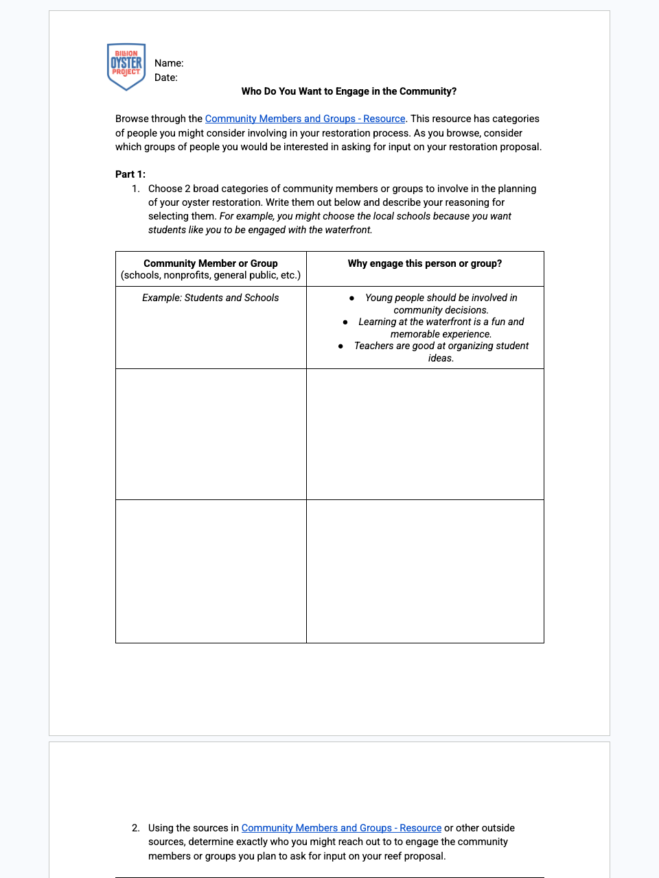
Students consider which community groups or individuals to involve in their oyster reef restoration proposal, research who should give input, and plan how to reach out. They add Part 4 to their ArcGIS story map proposal.

Students will:
  • Discuss the importance of engaging the local community in the restoration process
  • Research who in the community should give input and feedback on the reef proposal
  • Consider how to reach out to those community groups or individuals
  • Add to their ArcGIS story map proposal (Part 4)
  • Integrate multiple sources of information to make informed decisions and solve problems

Lesson

13

:

Restoration Management & Proposal

Length
3–4 class periods
Setting
Classroom
Subject
Science
Lesson Question
Where should future oyster restoration take place?
Lesson snapshot

Students finalize their ArcGIS story map to formalize their oyster restoration proposal (Part 5), present it formally, and share it with BOP or another community group via a drafted email.

Students will:
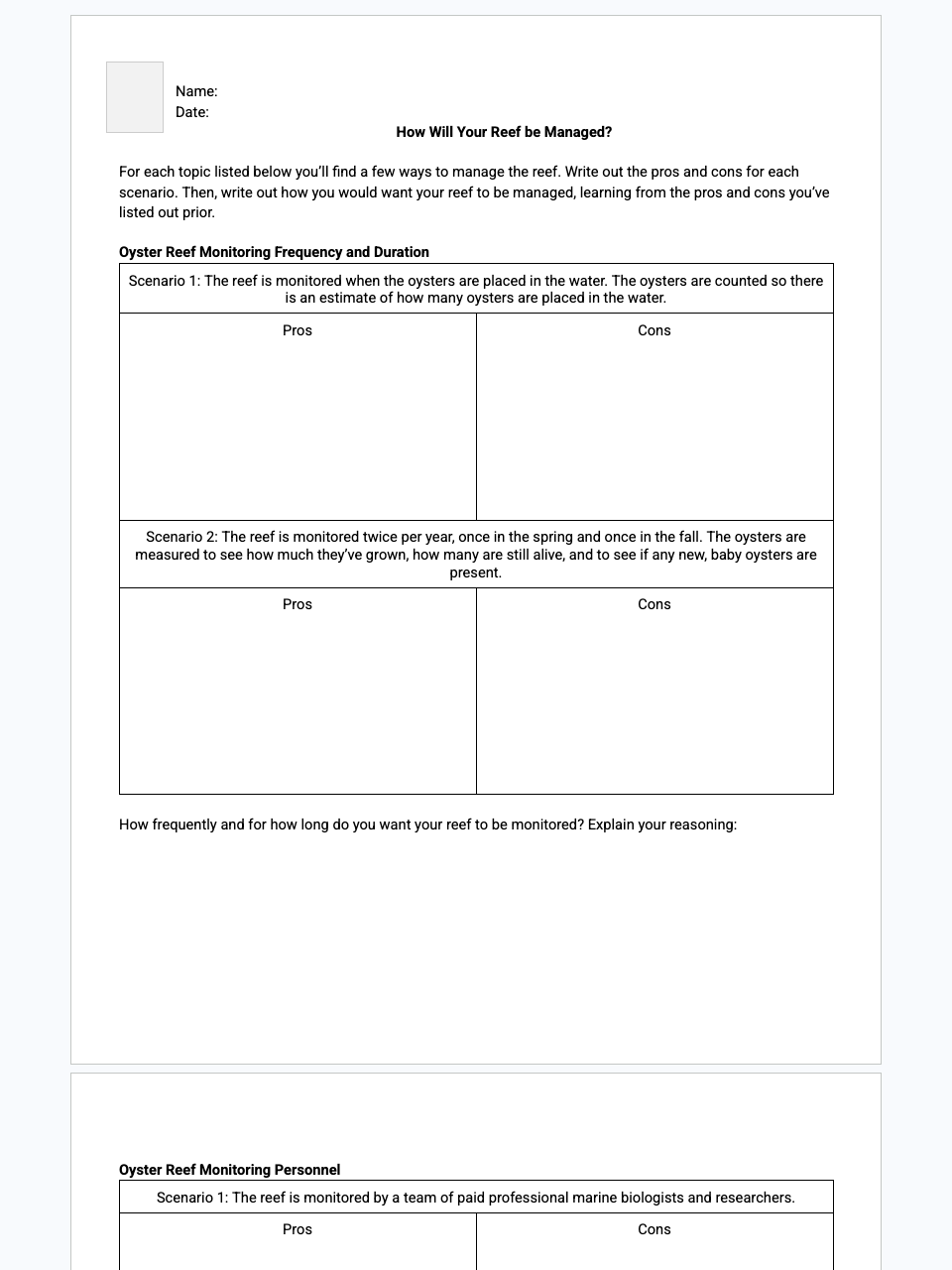
  • Evaluate pros and cons of various reef management scenarios to decide how their reef should be managed
  • Create and finalize an ArcGIS story map proposal (Part 5)
  • Share their proposal in a formal presentation
  • Share their story map proposal with BOP or another community group
  • Produce clear, coherent, discipline-specific argumentative writing appropriate to task, purpose, and audience